Foto:
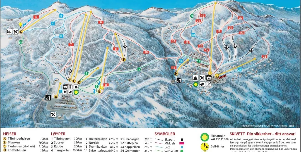
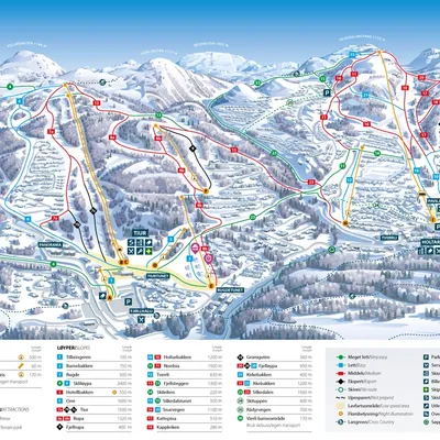
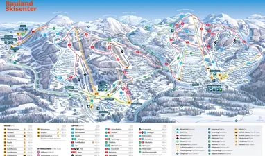
Piste Information
Find maps and details about Rauland’s slopes, trails, and other facilities:
🎿 Rauland – Ski Area Overview
📍 Location: 243 km from Kristiansand • 700–1,140 meters above sea level
🎿 Alpine Slopes
About 20 km of slopes in total across green, blue, red, and black runs 26 runs altogether • Longest run approx. 3 km Several illuminated trails for evening skiing
🚡 Ski Lifts
11 lifts in total – 2 chairlifts • 8 platter lifts • 1 T-bar lift Lift capacity: approx. 13,000 people per hour
❄️ Cross-Country Skiing
Roughly 150 km of trails – 80 km in forest areas • 70 km in the highlands Groomed and partially illuminated routes • Beautiful Telemark scenery
👨👩👧👦 Families and Children
Children’s area with conveyor belts and platter lifts Sledding hill for the youngest • Gentle beginner terrain
🏂 Other Facilities
Terrain park • Fun park • Snowboard school Ski school • Ski rental • On-slope dining • Après-ski
📎 Information is subject to change. For current conditions, slope maps, and webcams, visit raulandskisenter.no.
Look around
Location
Rjukanvegen 1066, 3864 Rauland, Norge
Reviews
Loading...
What you can experience in Rauland
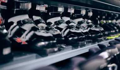
Ski Rental
Prefer to “travel light”? You can rent equipment at Rauland Ski Rental.
Piste Information
Find maps and details about Rauland’s slopes, trails, and other facilities:
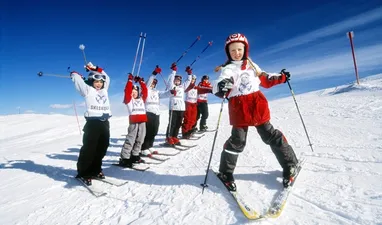
Ski School
Improve your skills in alpine skiing, cross-country skiing, or snowboarding—book a lesson at Rauland’s Ski School.
